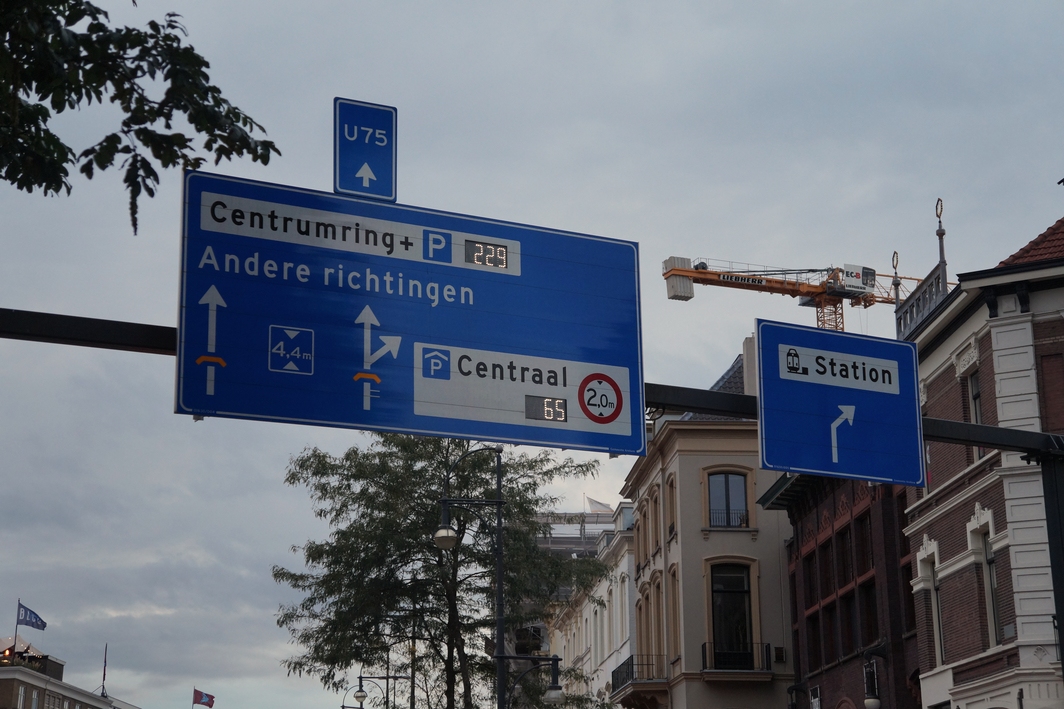
Willemsplein was and still is an important traffic point in the city. Public transportation (initially in a form of a horse tram) was available from the Willemsplein since 1880. Until 1944 it was the central transfer point for the extensive tram network, where trams from all directions met every 10 minutes. After the II World War the square was redesigned. The place of an imporant garrison (Willemskazerne) was transformed into a parking lot, an adjacent Looierstraat was constructed and, what's most important, the trams disappeared, trolleybuses were put in their place. Furthermore, air raid shelters were built and used as a pedestrian underpass, however, due to their poor condition, abuse as a urinal and a common sense of danger, it was soon decided to close the tunnels with a fence and later a manhole cover. The redeveloped Willemsplein was opened in 1954. It was mostly widened and made more convenient for the motorized traffic (and less convenient for literally everyone else, as it was common back then). The east side was made a separate square, called Gele Rijders Plein, after the soldiers who were once stationed there. The square for modified several times after that - for example separate bus lanes were created in 1975. After the opening of a new bridge (named after Nelson Mandela), there was an increase in motorized traffic towards Willemsplein. In the mid-90s plans were made to divert the downtown traffic in a fixed direction. The plans included the construction of a tunnel from Willemsplein (today it's called Willemstunnel). Some streets nearby were closed for cars and the bus/trolleybus station was expanded. Today, the square forms a link between the city centre, railway station and Sonsbeek Park. (previous | next | back to album | 2020:09:24 19:27:50 | 91% of an album)
